Hotel Diwan Sachpass Himalayan Brothers
Hotel Diwan Sachpass Himalayan Brothers offers accommodation with a restaurant as well as free private parking for guests who drive.

Sach Pass is a high mountain pass at about 4,420 m (14,500 ft) on the Pir Panjal range in Chamba district, Himachal Pradesh. It links the Chamba and Churah valleys with Pangi Valley. The road usually opens in late June or early July and closes with snow in mid-October; the route runs Chamba–Tissa–Bairagarh–Satrundi–Sach Pass–Killar, about 160–170 km.
One of Himachal's most thrilling routes, for motorcyclists and trekkers heading to the remote Pangi Valley.
From Chamba town the road runs through Tissa in Churah to Bairagarh, the last village before the climb, then past Satrundi to the pass and down to Bagotu and Killar in Pangi. Stage distances vary between guides.
Near the top the road is rough, with snow walls early in the season and stream crossings. Start early in the day, when streams run lower, and travel with a high-clearance vehicle or a motorcycle.
Opening depends on snow clearance, and the road can close at short notice. Check the current status and any registration or permit requirements with the Chamba district administration or local police before setting out.
Kangra (Gaggal) Airport and Pathankot Junction are the nearest air and rail links to Chamba; continue by road.
The road opens once snow is cleared, usually late June or early July. Expect snow walls at the top early on, and rain and landslides in the July–August monsoon.
Often the clearest weather of the season, with drier roads. Snow can return at any time, and the pass usually closes by mid-October.
Closed by snow. In winter Pangi Valley is cut off by road, and the air route is the only way in.
Hotel Diwan Sachpass Himalayan Brothers offers accommodation with a restaurant as well as free private parking for guests who drive.
About 4,420 m (14,500 ft) above sea level; some sources give 4,414 m. It is on the Pir Panjal range in Chamba district, Himachal Pradesh.
Usually from late June or early July to mid-October, once the road is cleared of snow. It closes with the first heavy snowfall; check the current status before you travel.
In Chamba district, Himachal Pradesh, on the road from Chamba through Tissa and Bairagarh to Killar in Pangi Valley.
About 120 km by road via Tissa and Bairagarh, according to route guides; Killar, on the far side, is about 166 km from Chamba.
Many travellers cross by car and motorcycle in the open season, but the top section is rough with snow and stream crossings, so a high-clearance vehicle, an early start and local advice are recommended.
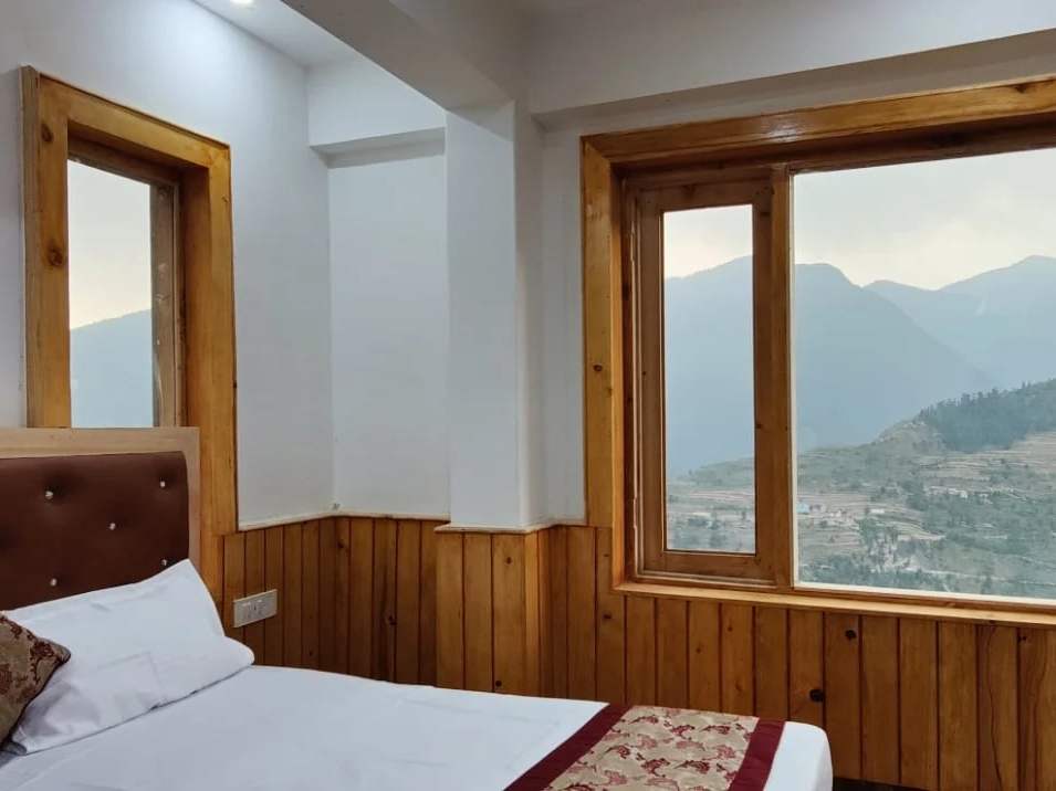
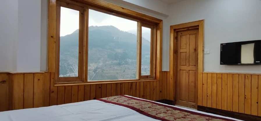
Hotel Diwan Sachpass Himalayan Brothers is in Bairagarh, Churah (Chamba district), the last village before the climb to the pass, with mountain-view rooms, a restaurant, bonfires and free parking. It is open all year.
Road, weather and permit conditions change; check locally before you travel. Our front desks are happy to help.